Mapping Historic Ballard is a community effort to document the rich history of Ballard architecture and provide guidance for preservation of that architectural heritage.
Explore the project through the maps below or read more about the historical survey with the links on the right.
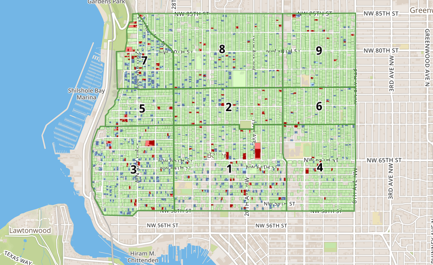
These parcels and buildings represent the Select 150, Vintage 500, and all other surveyed parcels that were inventoried as part of the Mapping Historic Ballard project in 2016.
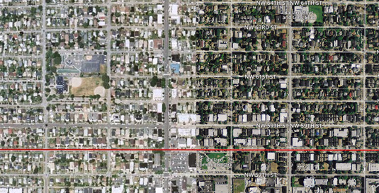
Text block here about the 1996 map. A few sentences that will lead people to click through to the full description and map!
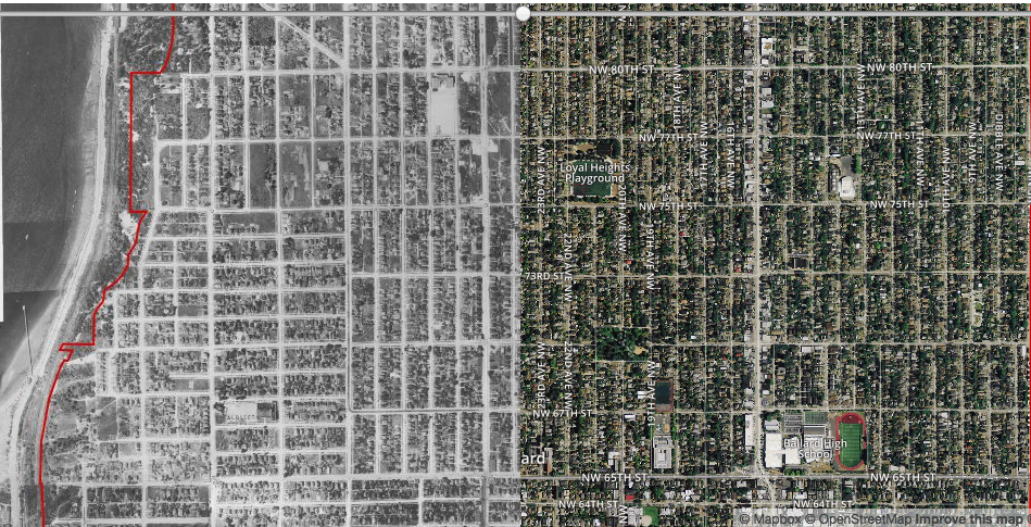
Text block here about the 1937 map. A few sentences that will lead people to click through to the full description and map!
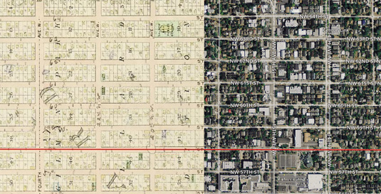
Text block here about the 1904 map. A few sentences that will lead people to click through to the full description and map!
